USV
Unmanned Surface Vehicle (USV) for Hydrographic Surveying
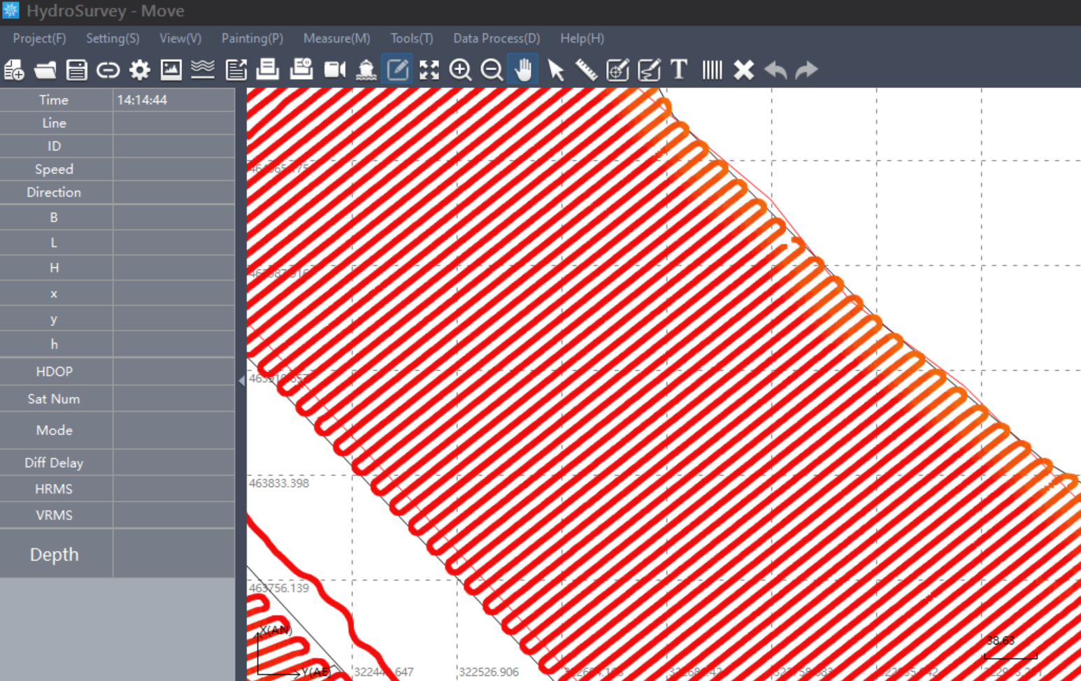
More and more coastal structures are being built with each passing day, making hydrographic surveying an essential need in the modern world. Therefore at Water Solutions, it is our upmost priority to keep offering the most modern and fastest solution for hydrography to our customers. USVs have the ability to carry multiple different types of sensors and conduct surveys in previously uncharted territories producing accurate and reliable data at ease.
the need for USV Surveying
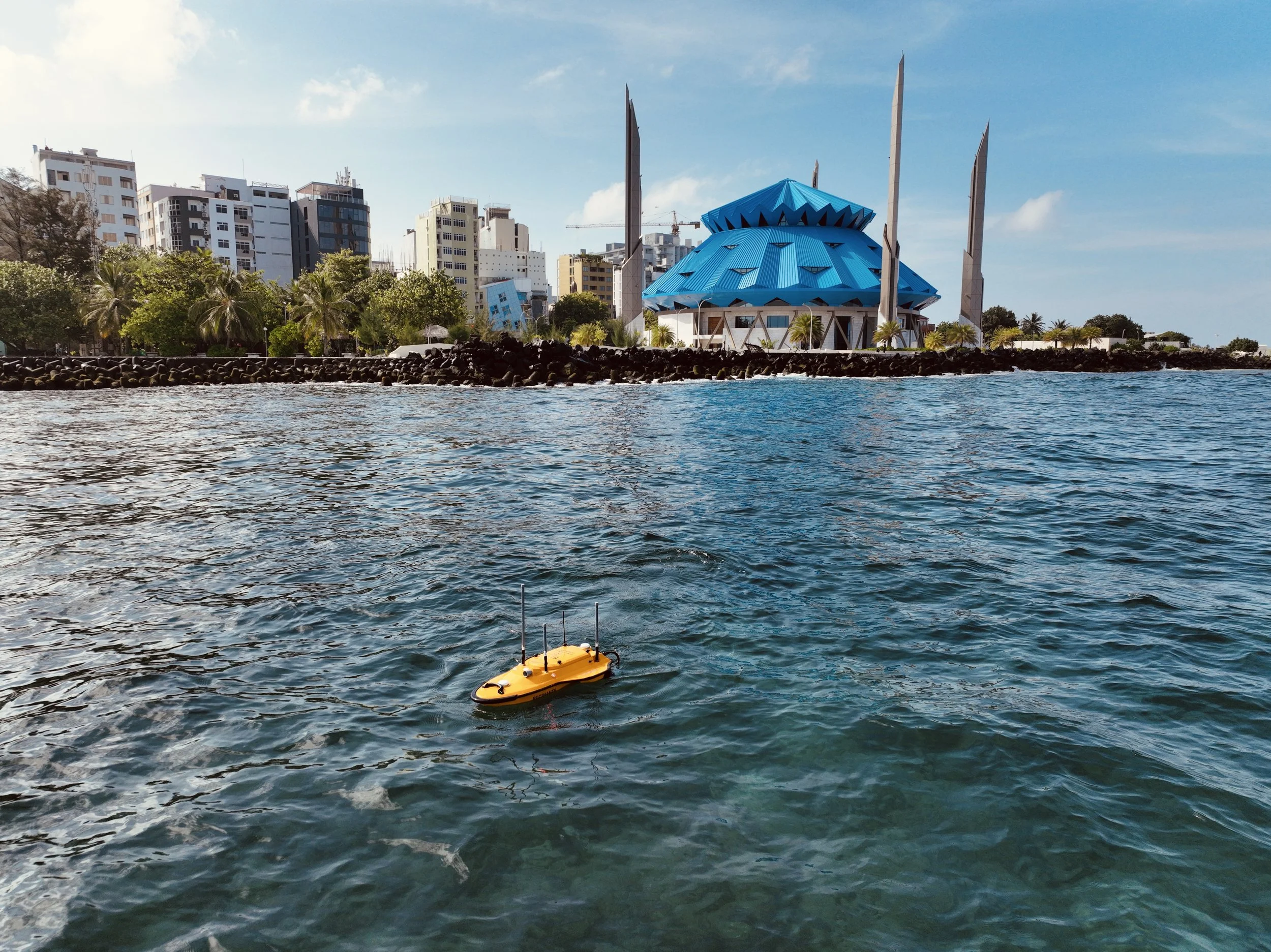
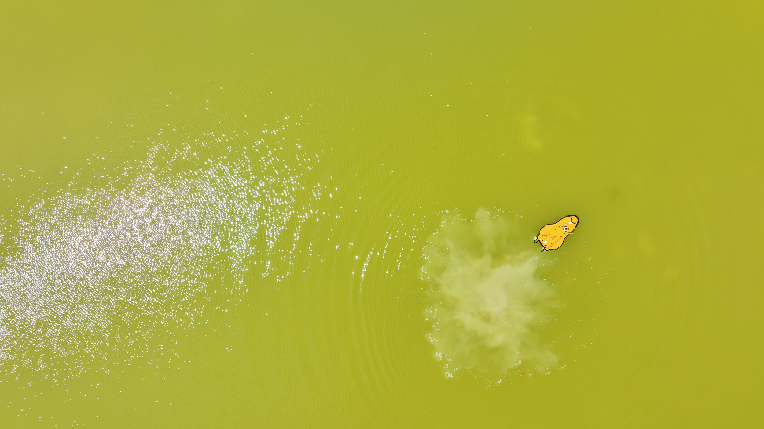
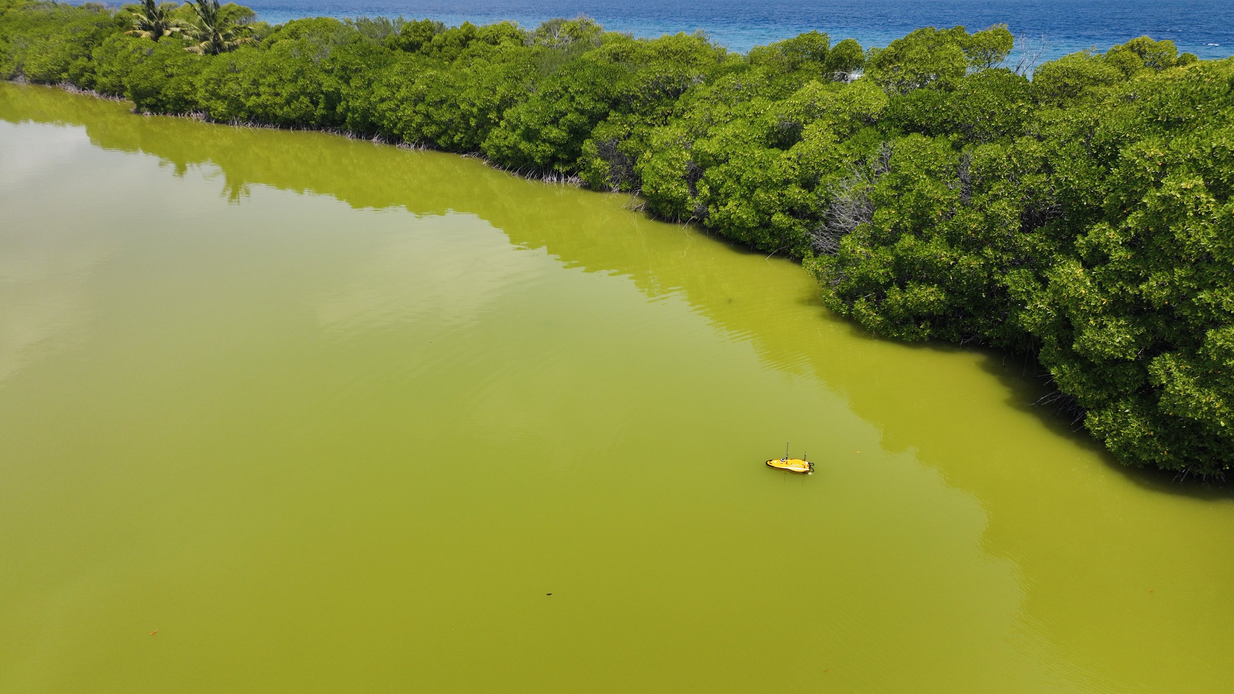
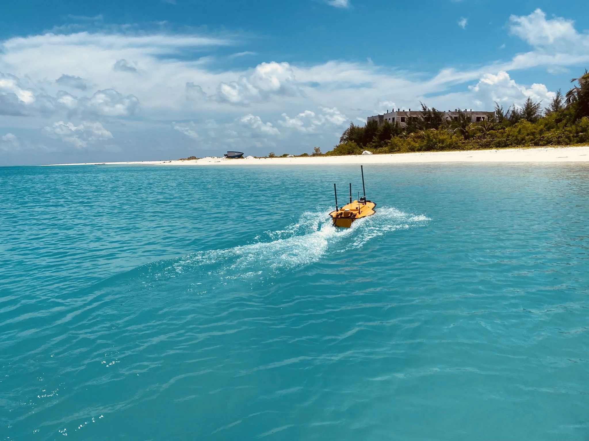
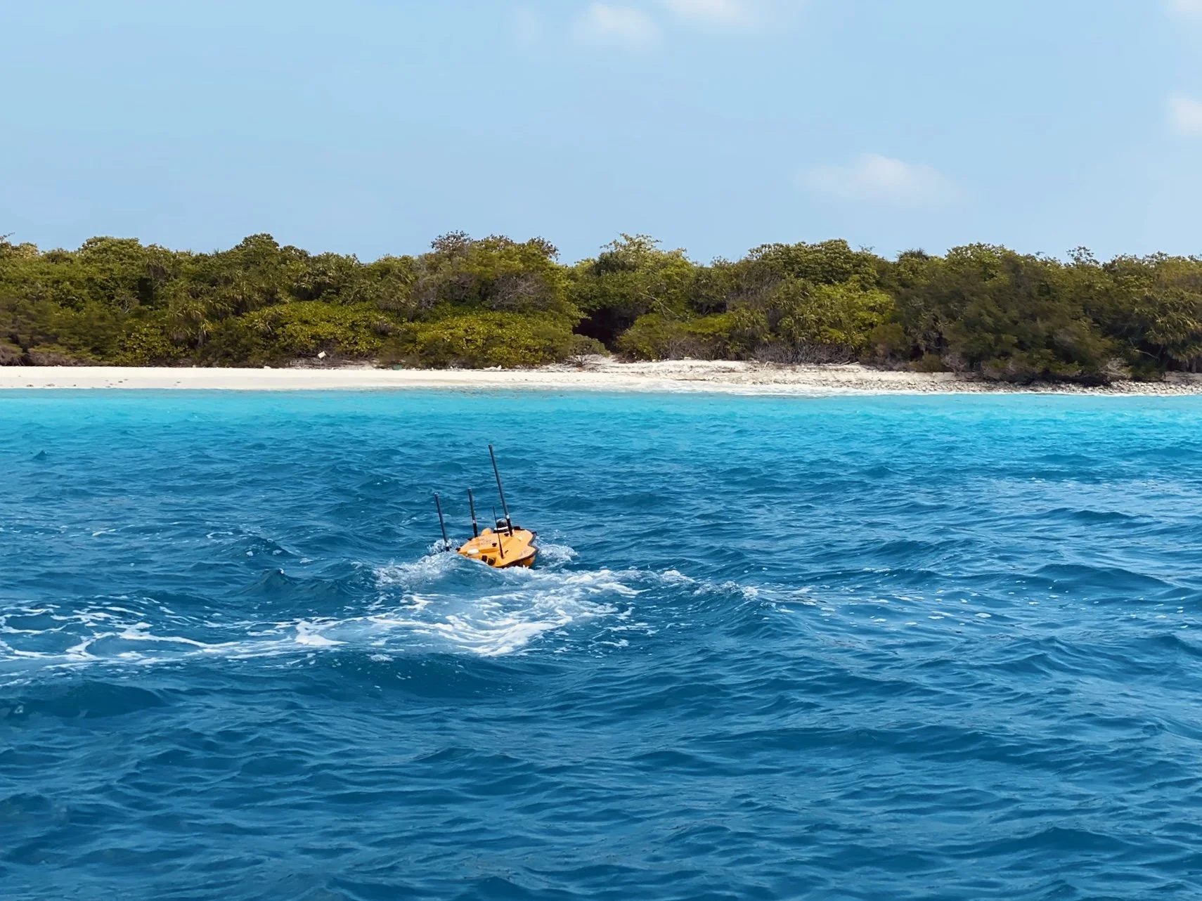
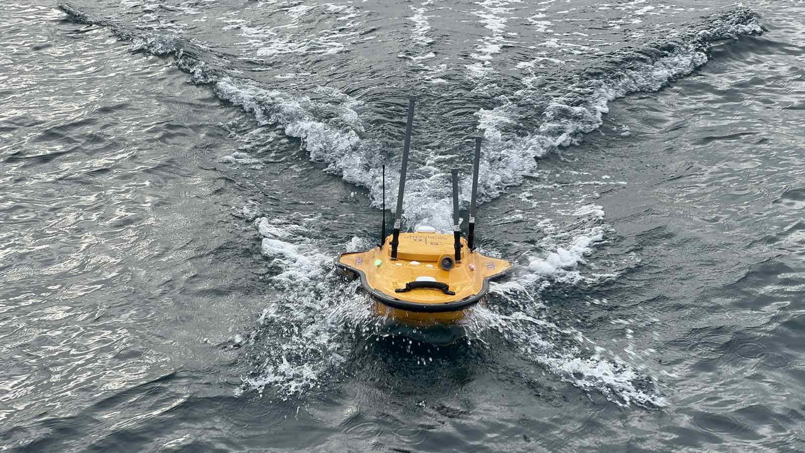
USV has the added advantage of being able to manourver in shallow water that are difucult to access using dingys or boats. It can autonomously survey for longer periods of time with high accuracy. The CHCNAV Apache 3 is our preferred USV as it is user friendly and cost effective while being equipped with the most up to date internals. It is able to maintain a high accuracy due to the integrated IMU that can overcome any loss in shortage GNSS signal, keeping the accuracy at high levels throughout the survey regardless of conditions.
The Apache 3 can also travel as straight as an arrow even in choppy waters allowing for maximum possible precision. With a 1km range on a network ridge and essentially infinite range on 4G, the Apache 3 is the perfect solution for our team.
Application of USV survey
Some of the applications of Multibeam surveys are:
Surveying of water courses such as harbours and ports
Near-shore coastal environments
Monitoring surveys for reclamation works
Coastal protection survey for breakwaters
Pre and post dredge survey for reclamation and dredging projects
General hydrography of the sea floor
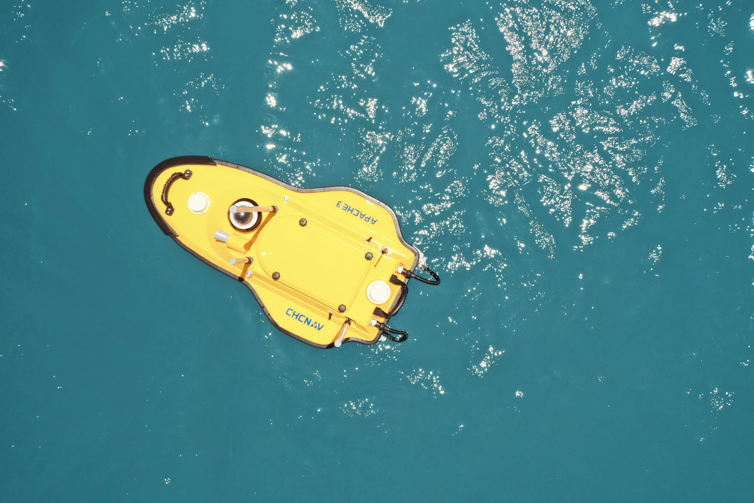
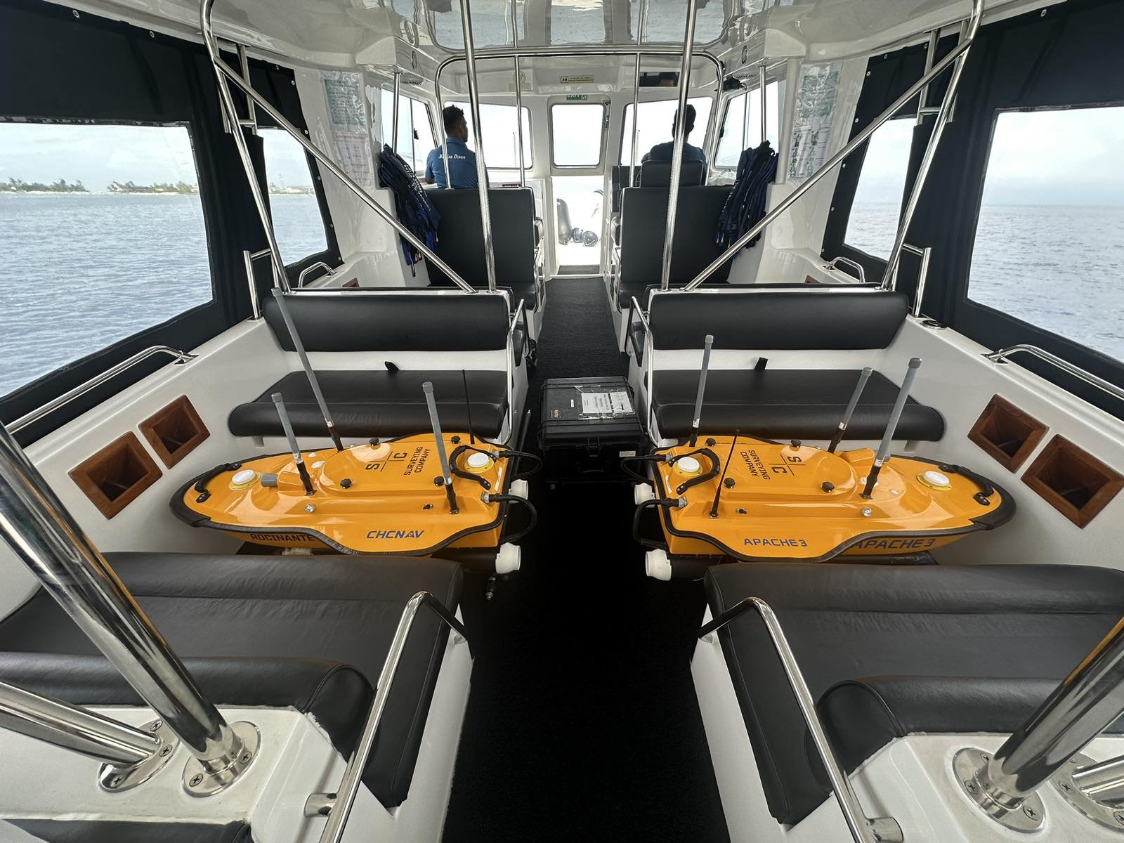
WS ROCINANTE (CHCNAV APACHE 3)
WS Rocinanteis is equipped with a D230 Singlebeam Echo Sounder with a range of up to 200m with a beam angle of 6.5° at an accuracy of ±0.01 m + 0.1% x D (where D is the depth of water) and a resolution of 0.01m. This is supported by an equally powerful positioning system capable of a heading accuracy of 0.2° and is equipped with 432 channels allowing for GNSS at even the worst conditions. The USV can run for 2 hours completely autonomously and if needed to run any longer, all it needs is a quick battery change.
The APACHE 3 provides consistently high accuracy positions even during temporary GNSS outages. Tight integration of GNSS and INS data eliminates outliers.