UAV Mapping
Unmanned Aerial Vehicle (UAV) or drones are extensively used for high resolution mapping. UAV mapping is an accurate and cost-effective method compared with aerial mapping or satellite imagery. The benefits include low cost, high temporal resolutions, fast mobilization and mission time.
Using advance photogrammetry techniques the photos captured from UAV can be used to high resolution map outputs.
Most common map outputs include:
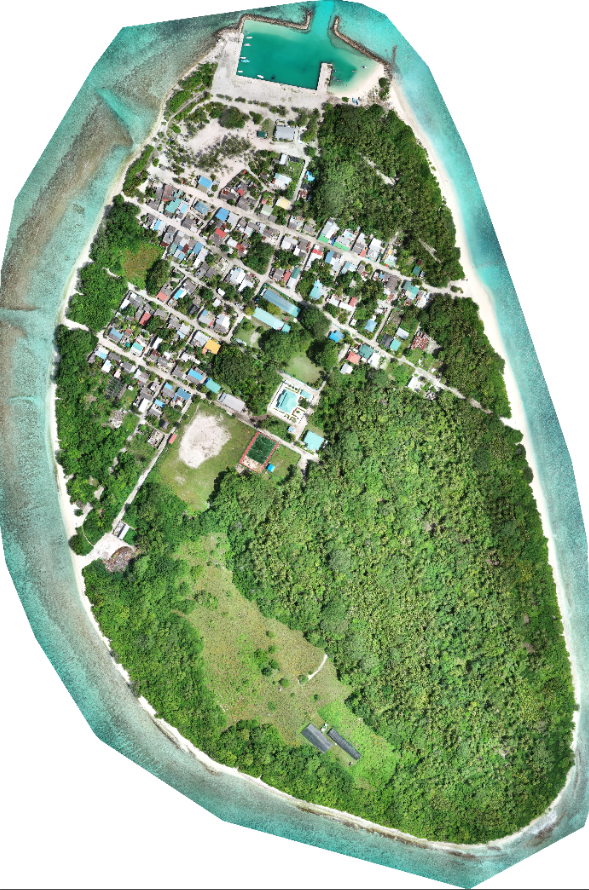
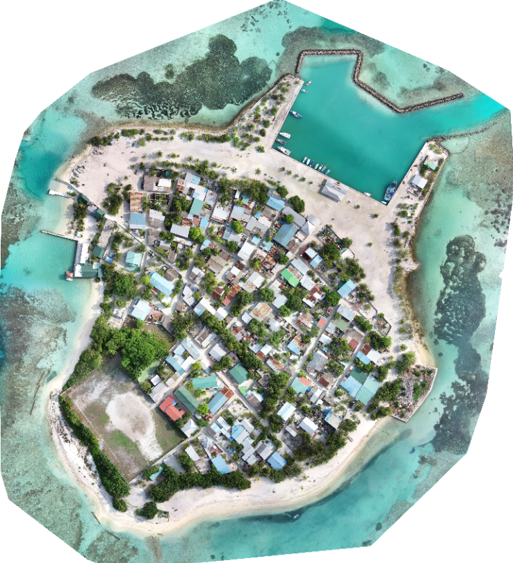
Orthomosaic - An aerial image corrected for topographic relief, camera tilt, and distortions in camera optic so that the scale of the image is uniform throughout.
3D reconstruction – which includes: 3D point cloud, Texture map , Digital surface and terrain model (DSM, DTM) and Contour lines
uav Mapping Applications
UAV Mapping is becoming more and more useful with the advancement of drone technologies and how quick the data can be collected. Some of those applications are as follows
Agriculture
Climate Change
Construction
Disaster Management
Dredgeing and Reclamation
Enviromental Monitoring
Geographic Information Systems (GIS)
Surveying
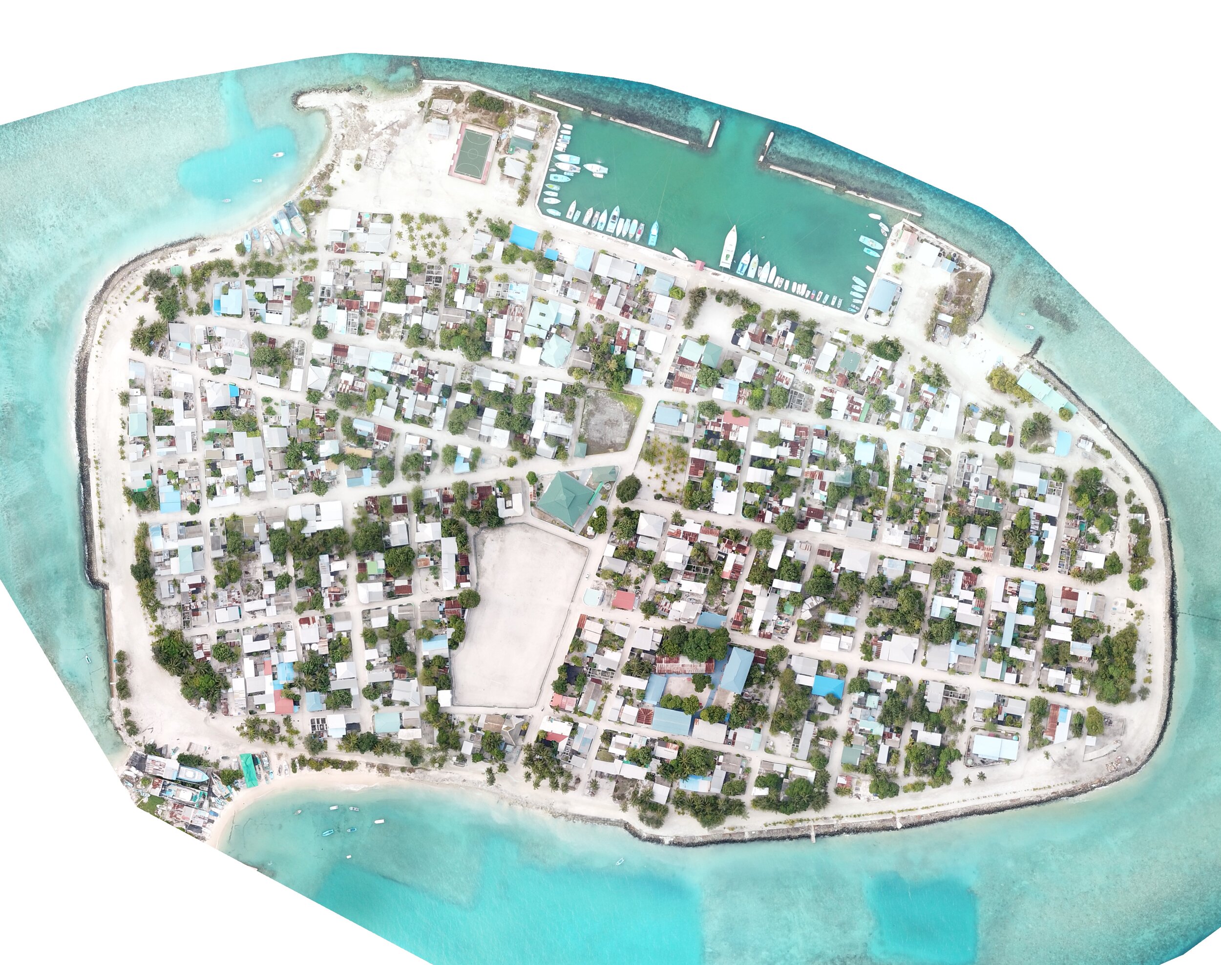
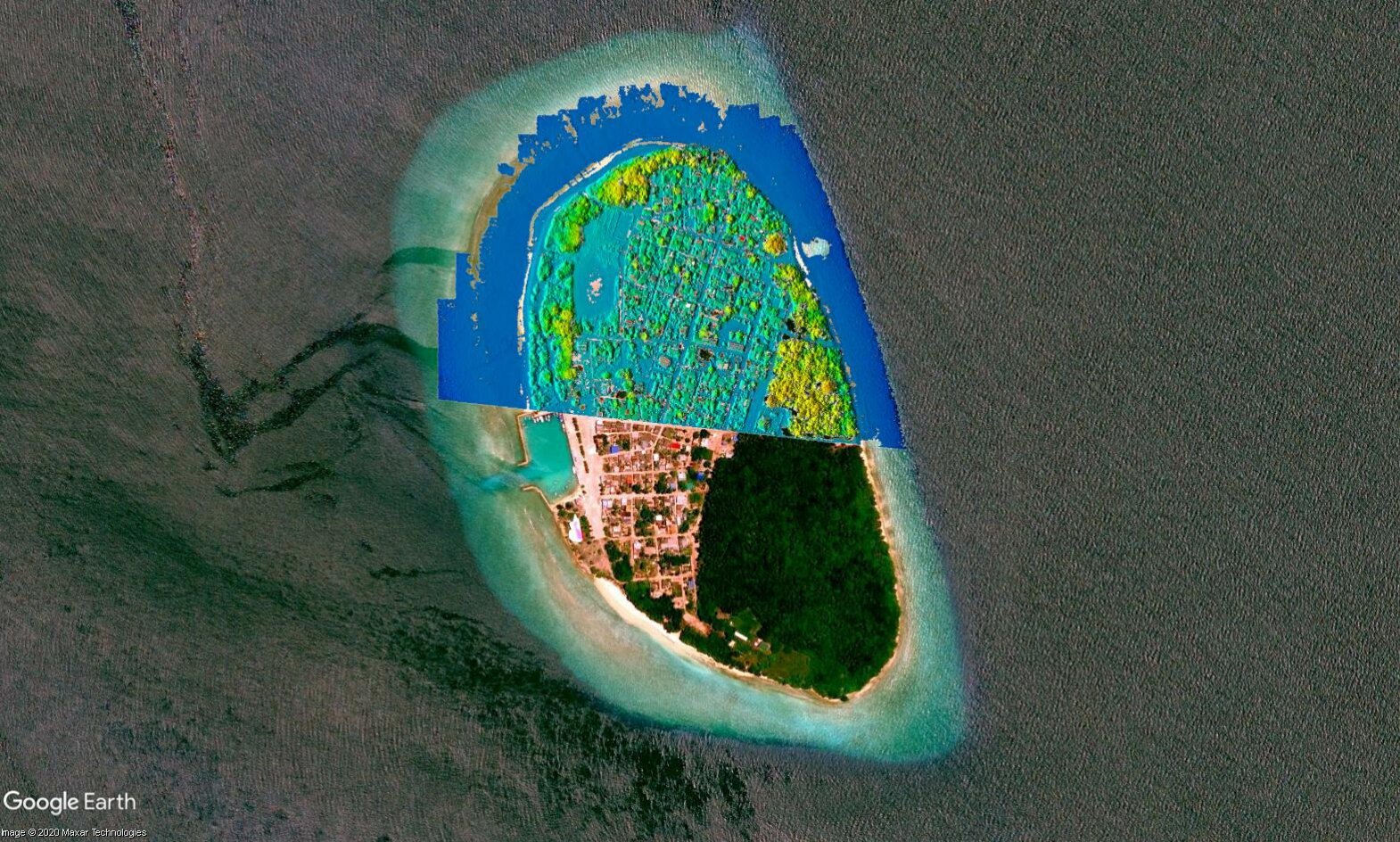
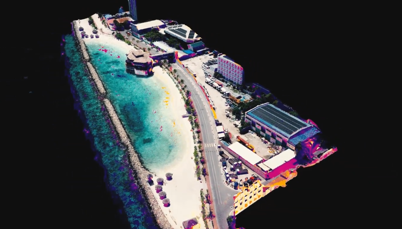
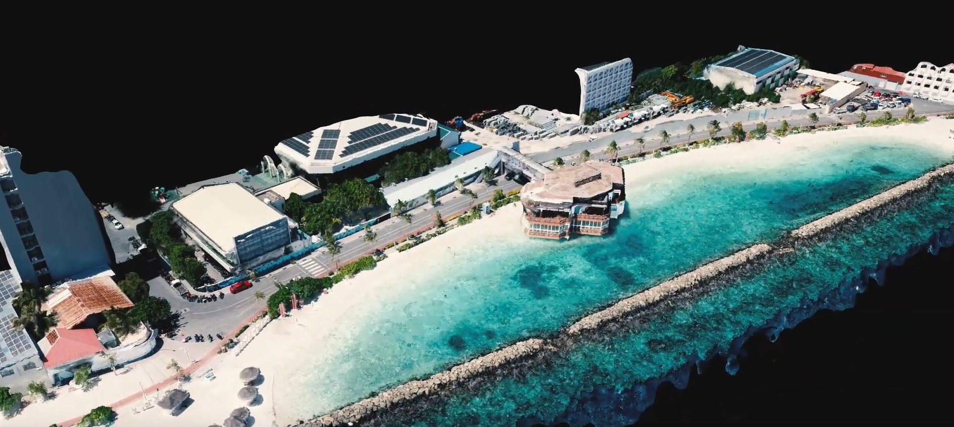
Map output - Orthomosaic of the island of Maduvvari
UAV Platforms
Our fleet of UAVs include helicopters and fixed wings, the best-suited UAV for a mission is selected depending on application.
UAV Fleet
Dji phantom 4 pro
Dji phantom 4 RTK
Dji Phantom 4 Multispectral
Dji Mavic pro
Dji Mavic Mini
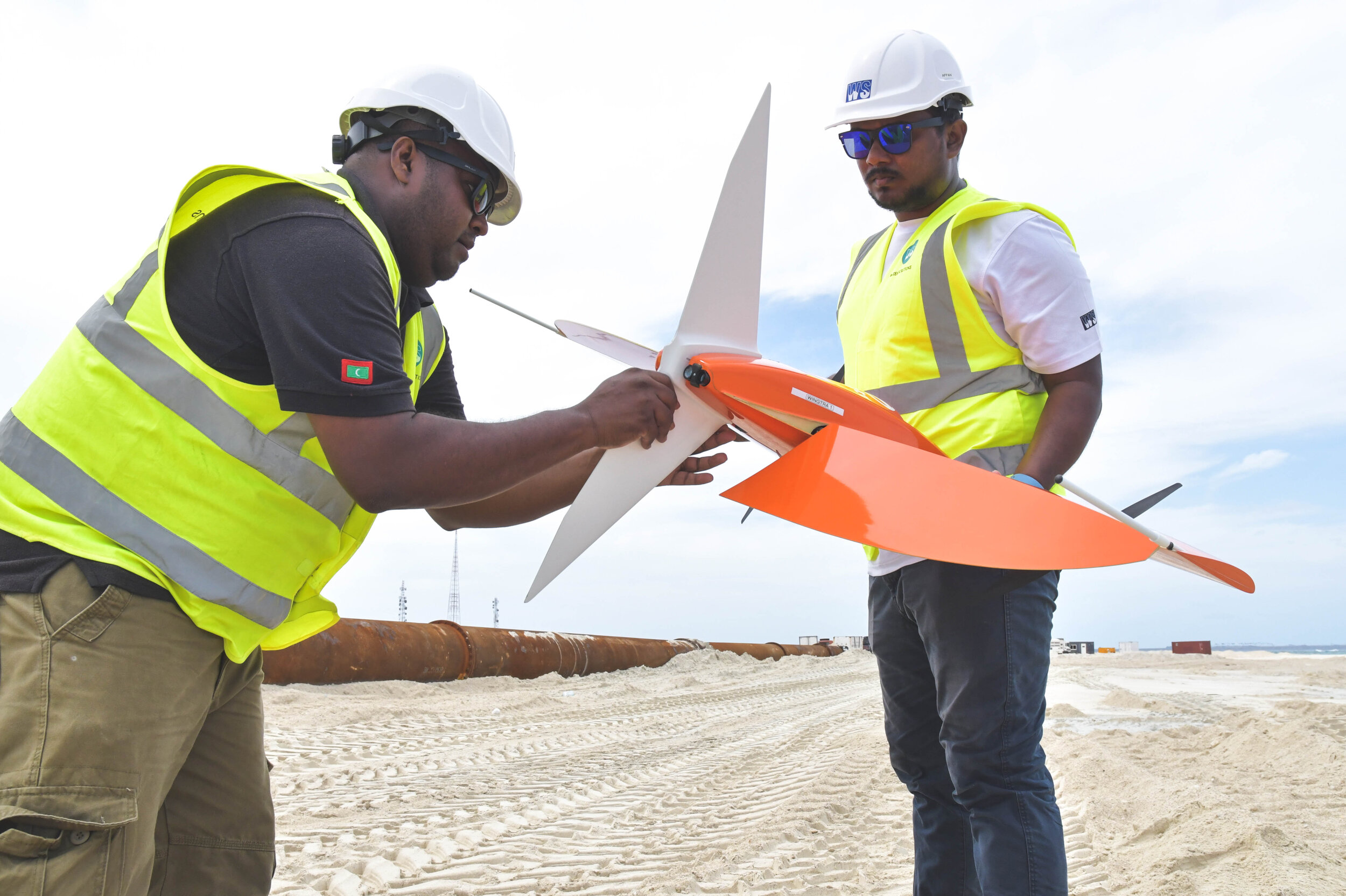
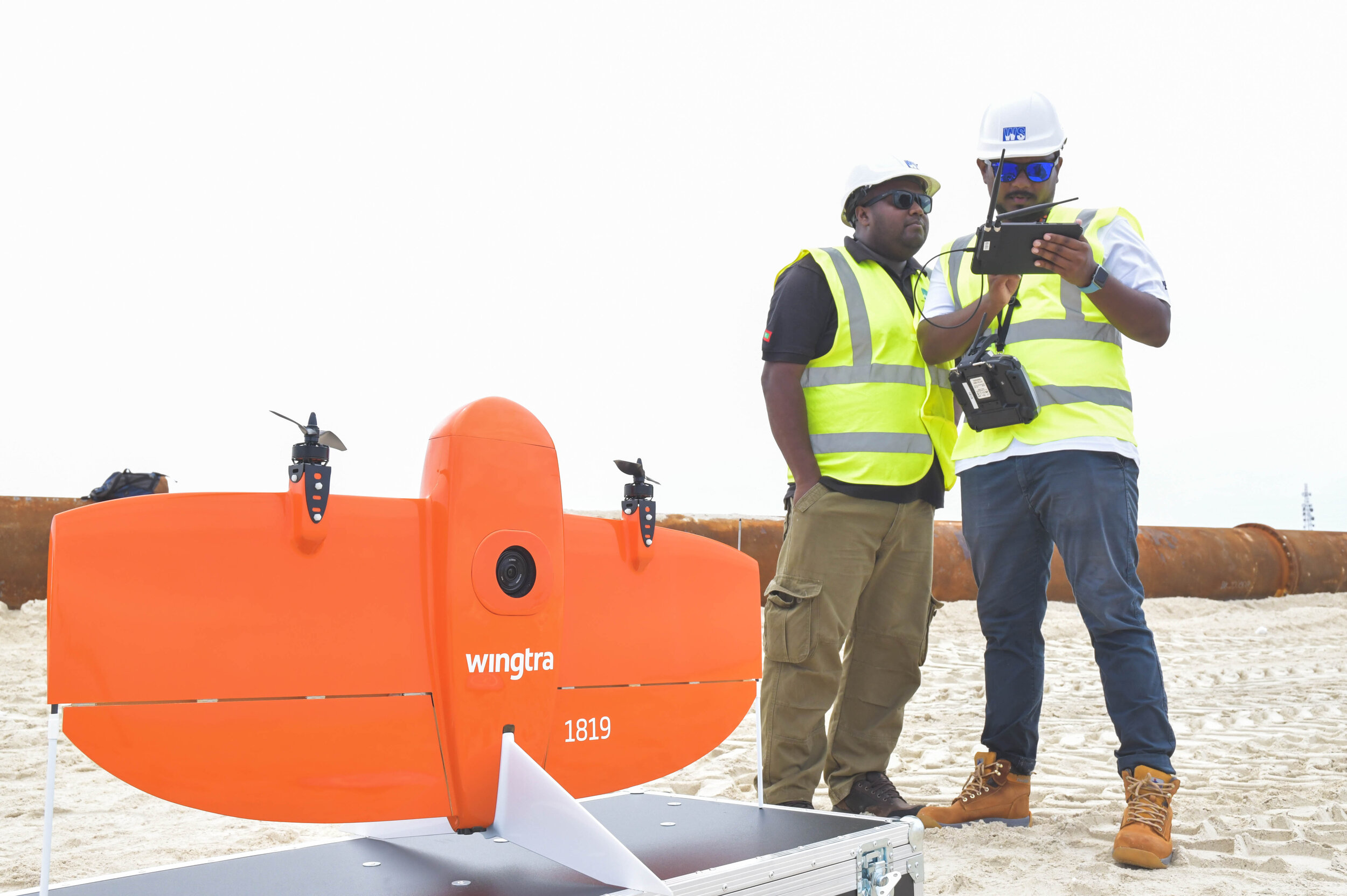
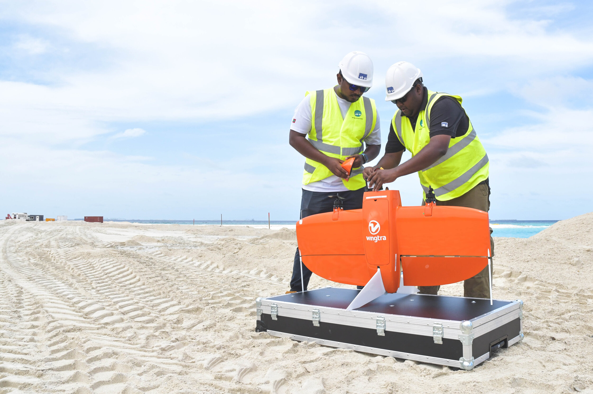
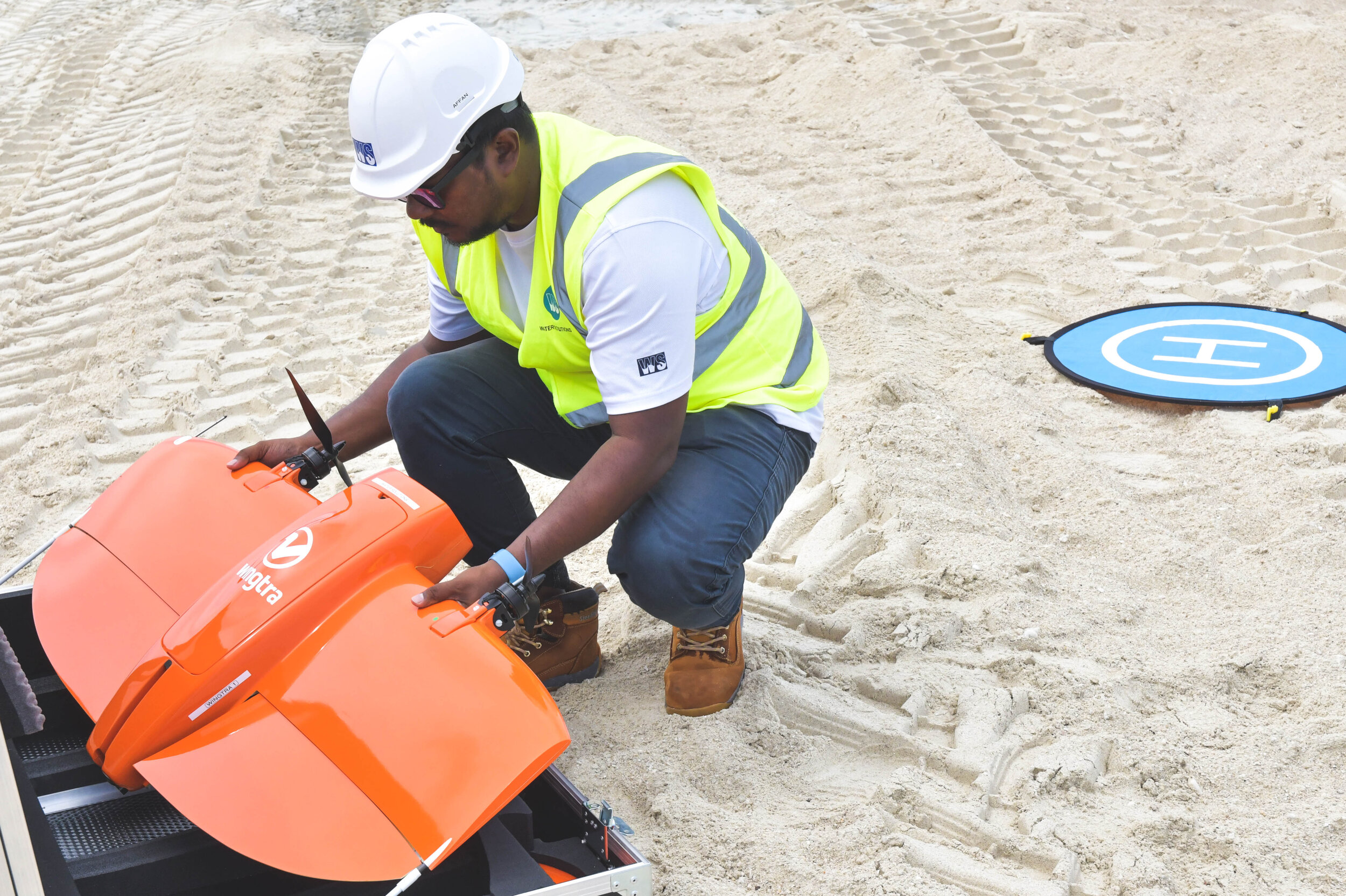
WingtraOne QX1 - VTOL
DJI RTK drone takes aerial mapping to the next level. It gives us the ability to map large areas in great detail. In our quest to introduce the best methods of data collection in Maldives, this is a big step forward.

WingtraOne QX1
“The professional VTOL drone for mapping & surveying”
The WingtraOne VTOL mapping drone is capable of performing fast aerial surveys across the wide or hard-to-reach areas and producing reliable maps with unparalleled resolutions and accuracy. WingtraOne comes equipped with a Sony high resolution mapping camera. The vertical take off and landing capability allows the WingtraOne mapping drone to ascend and move like a helicopter. For the drone mapping it transitions into forward cruise flight mode. With high resolution cameras, WingtraOne can fly at high altitude above the ground and still map large areas like entire islands, and vast dredging project areas in hours.

DJI Phantom 4 MULTISPECTRAL
“A high-precision drone with a seamlessly integrated multispectral image system”
The P4 Multispectral consolidates the process of capturing data that gives insight into crop health and vegetation management. This gives us the ability to collect agricultural imagery more efficiently than ever before, With a built-in stabilized imaging system that collects comprehensive data sets, we are able to collect data using 1 RGB camera and a multi-spectral camera array with 5 cameras covering Blue, Green, Red Edge, and Near infrared bands - all at 2 MP with global shutter, on a 3 axis stabilised gimble.