Singlebeam Bathymetry
In single-beam bathymetry, an echo sounder is used to measure the depth by sending out an acoustic signal. This does not provide an image as detailed as one that is produced by multibeam bathymetry.
The need for Single-beam
Even though Multibeam technology has largely superseded single beam, single beam still remains a valid methodology for surveying. For shallow water environments where the time required to achieve 100% insonification with a multibeam sonar is excessive or beyond a client’s budget, single beam is used.
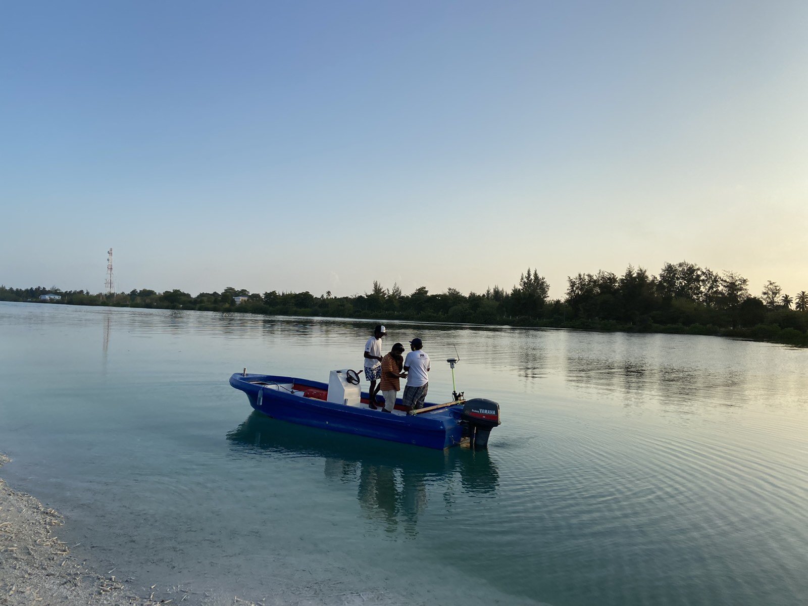
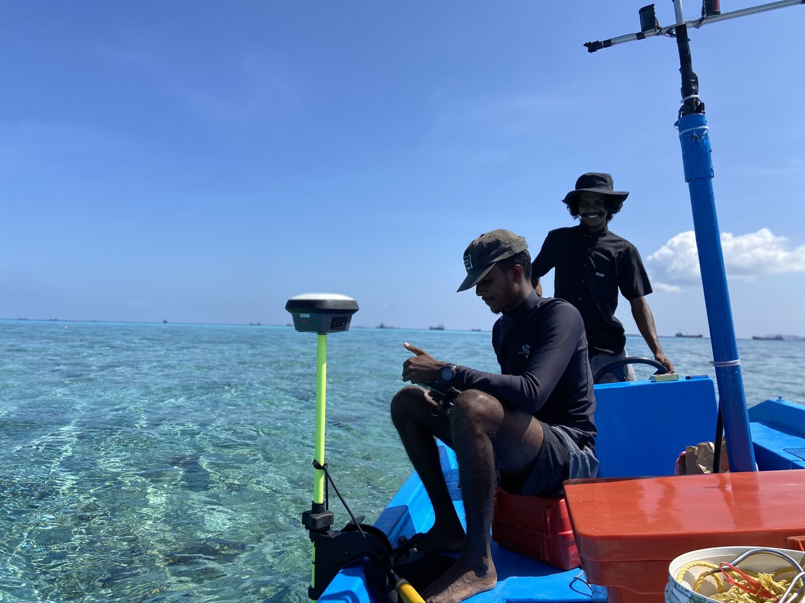
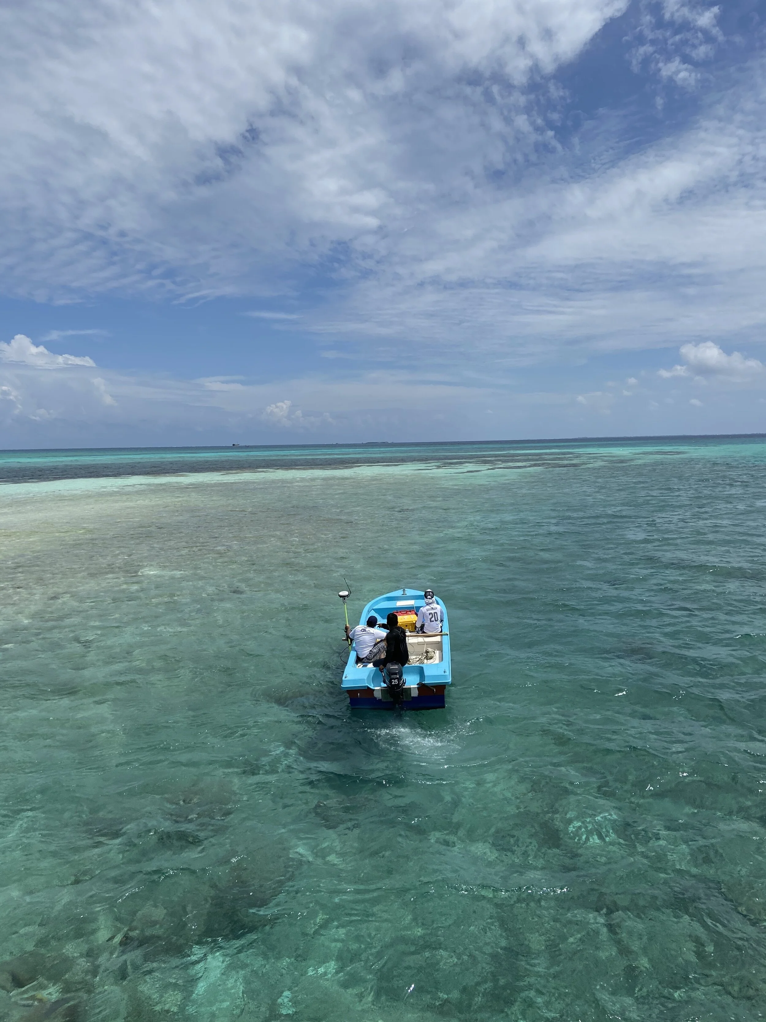
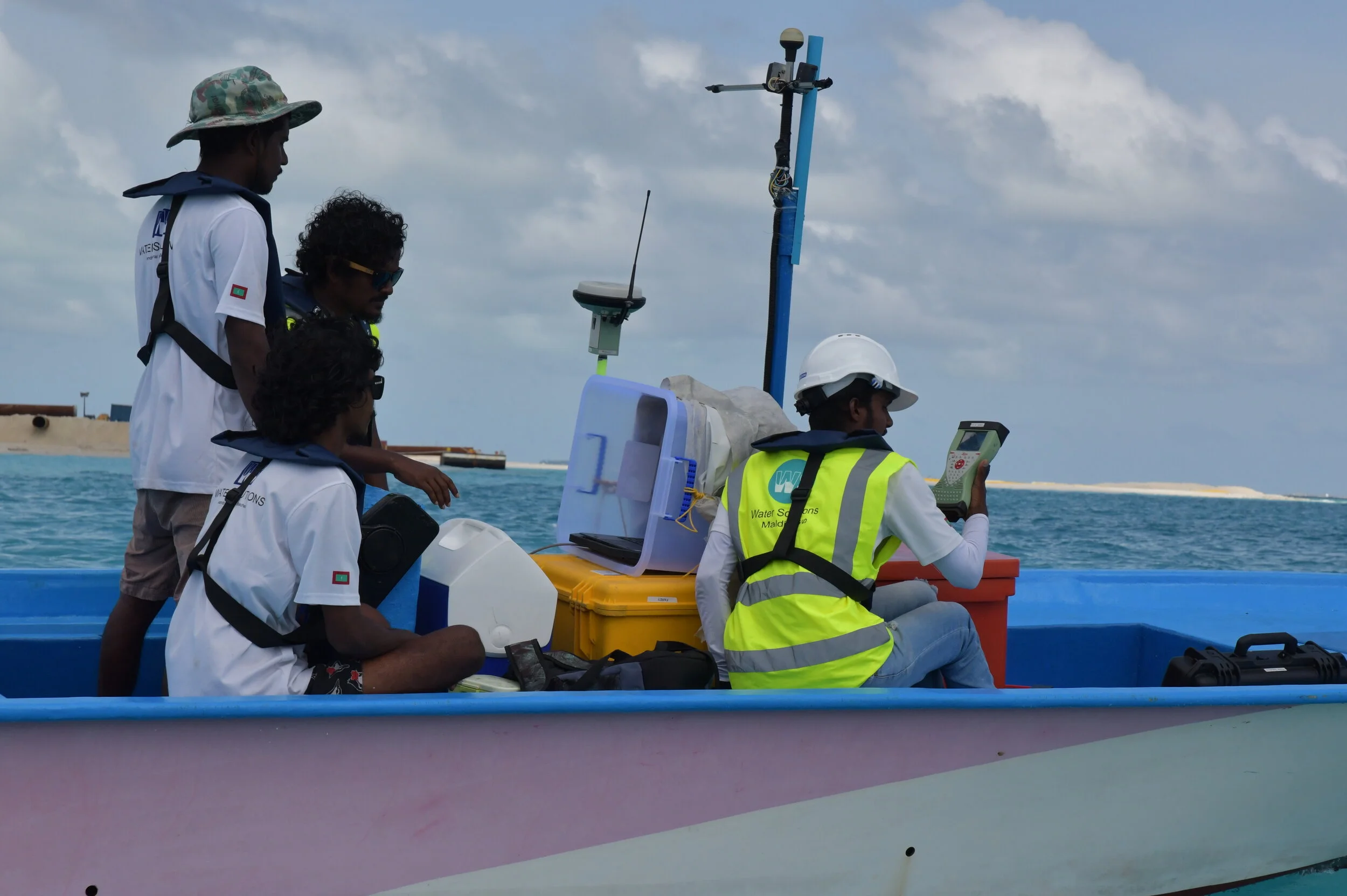
With the highly versatile single beam bathymetry solution available at Water Solutions, we can measure depths from as shallow as 0.5 meters to depth of 1,000 meters. The CEE-LINE Echo sounder, coupled with top of the line Leica Controllers and GNSS smart antennas provide highly accurate positional data along with depth information for detailed underwater profiles of shallow waters. With the versatility to attach the device to any small vessel, Water Solutions can mobilize and collect data quickly and efficiently.
Application of Single-beam Bathymetry

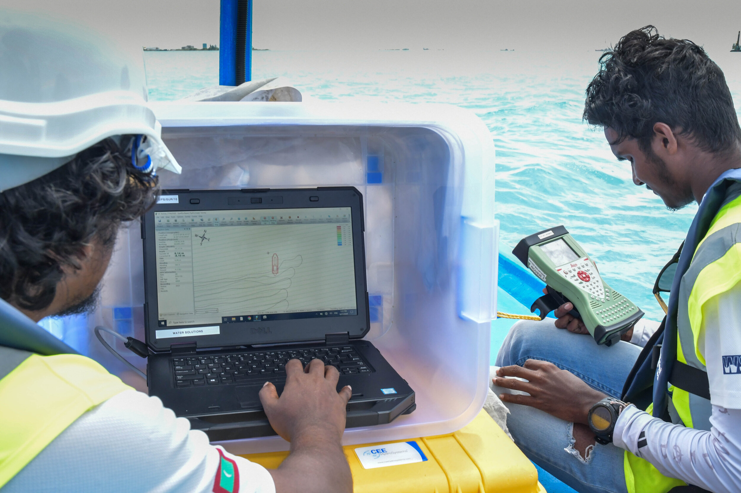
Data visualisation
From the positional data and depth data collected, an accurate contour map can be generated that shows the underwater topology of the area. For further visualization, 3D maps can also be generated.

Bathymetry Contour map