Major Milestones
2005
First client was sunland Hotels.
First surveying project awarded.
2006
First single beam boat mounted echosounder acquired.
2007
Topographic surveying of all the islands in Baa atoll awarded and completed.
2008
First issue of maps of Maldives published.
Designed and implemented a 500 metre breakwater in Cinnamon Island Alidhoo in Haa Alif Atoll.
2009
2nd publication, Above Maldives published.
2010
The company was awarded the contract to survey 10 islands by the mapping division of NOKIA.
Launching of the Addu Map for the SAARC summit.
2012
Purchase of first GNSS RTK surveying (Base and Rover) kit in the first phase of modernisation of surveying services.
Completed the entire Addu Atoll island elevation data capture for Ministry of environment.
2013
First Drone enters service.
The company relocated to a new office at Ma.Fas Eri (1st floor), Ameenee Magu, Male’, Maldives.
2014
Purchased additional GNSS Rover kit to increase capacity and improve efficiency.
Undertook an aerial video and photography project of more than 15 islands from North to south to develop a presentation of island vulnerability.
2015
Acquisition of Teledyne Odom Mb2 Multibeam surveying systems with Applanix POSMV Wavemaster II
2016
Publication of the 2nd edition of the Maps of Maldives.
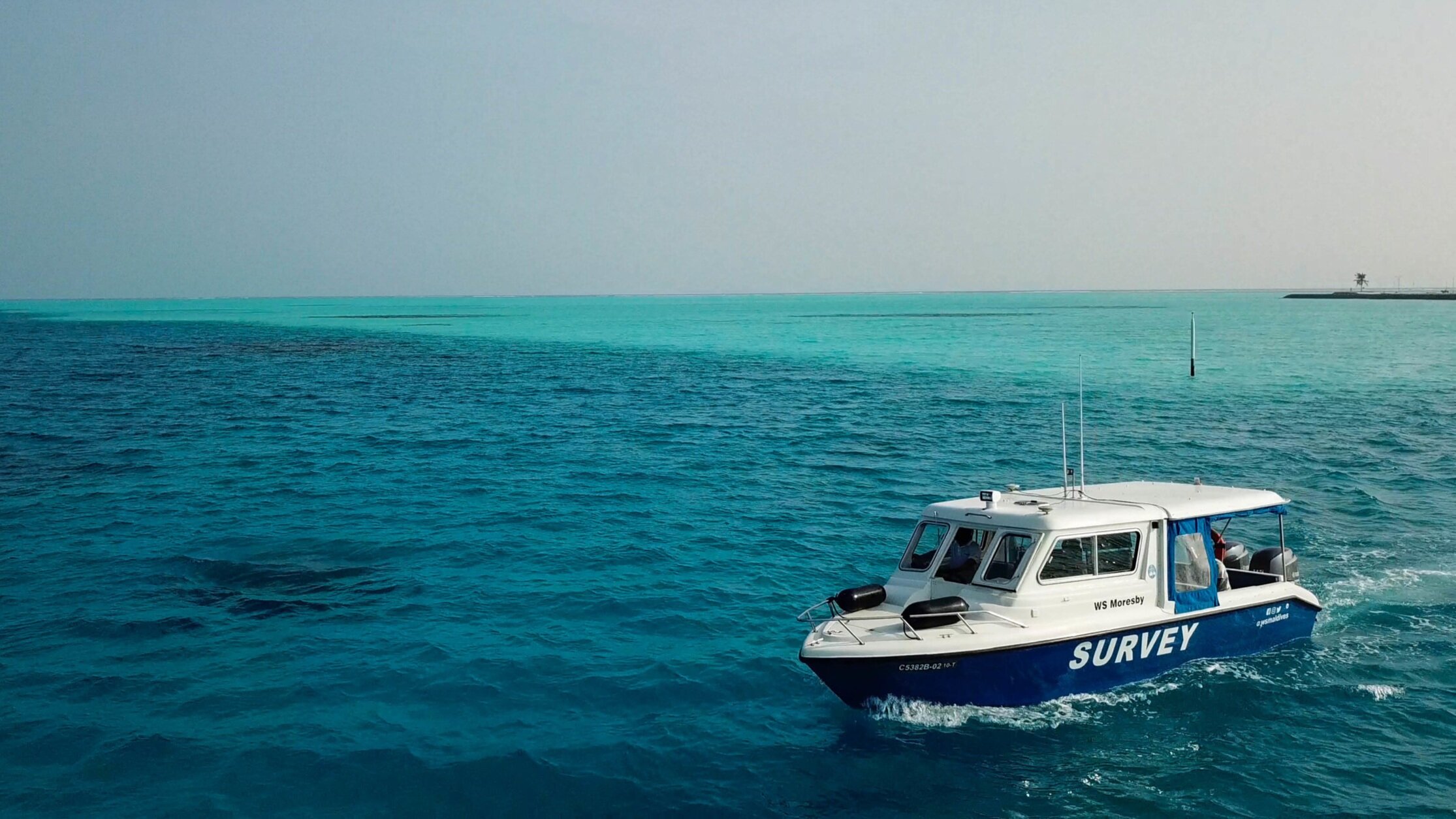
Commissioning First Survey Shallow Water Hydrographic Survey vessel - WS Moresby.
2018
Acquisition of Leica GS18T - Tilt compensated GNSS receivers into Service
2021
Acquisition of CHCNAV Apache 3 USV for autonomous bathymetry
2022
ISO 9001 certified