
3D Laser Scanning
3D Laser Scanning is a non-contact, non-destructive technology that digitally captures the shape of physical objects using a line of laser light. 3D laser scanners create “point clouds” of data from the surface of an object. In other words, 3D laser scanning is a way to capture a physical object’s exact size and shape into the computer world as a digital 3-dimensional representation.
3D laser scanners measure fine details and capture free-form shapes to quickly generate highly accurate point clouds. 3D laser scanning is ideally suited to the measurement and inspection of contoured surfaces and complex geometries which require massive amounts of data for their accurate description and where doing this is impractical with the use of traditional measurement methods or a touch probe.
Application of 3D laser scanning
This is a versatile tool that can be applied to a multitude of surveying challenges. The application of laser scanning includes:
Topographical land surveys showing building footprints, levels, surface features, trees etc
Detailed building elevation drawings, floor plans, sections, internal and street scene elevations
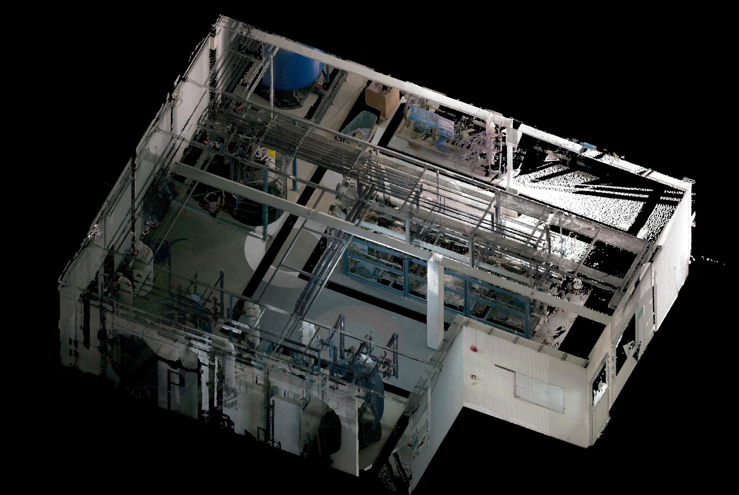
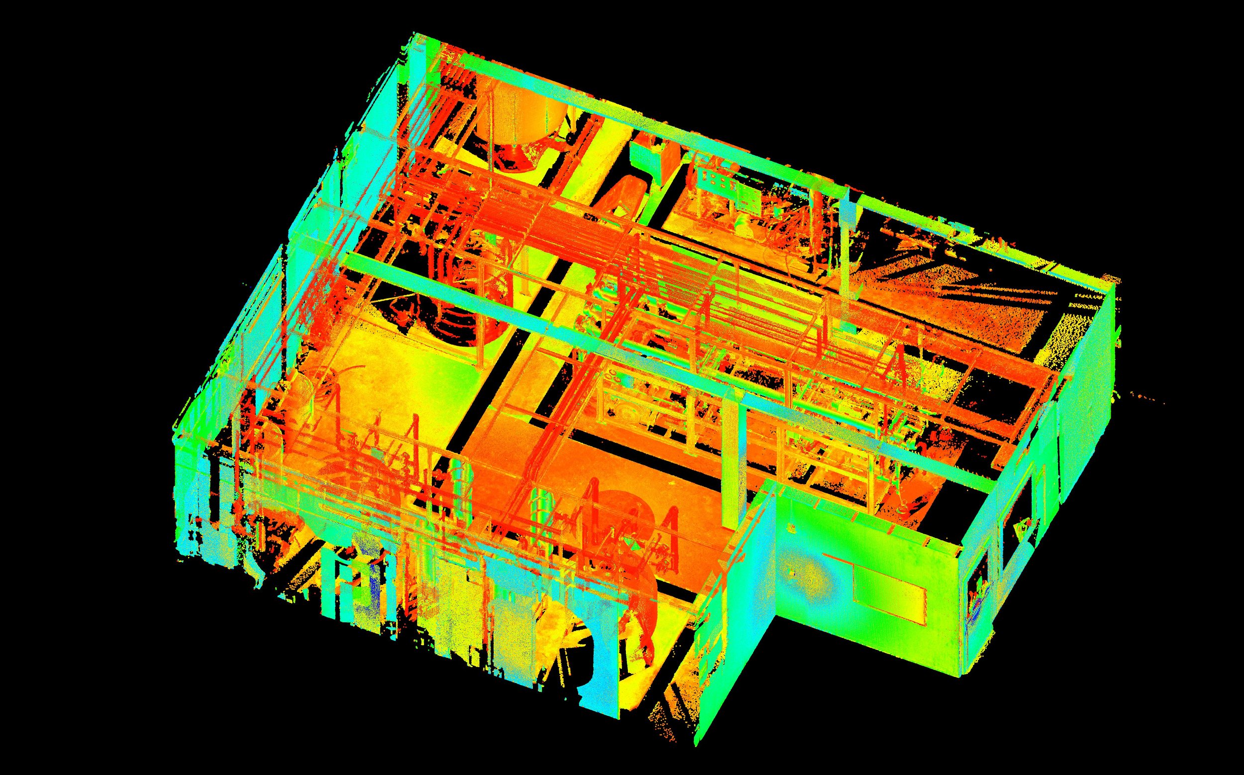
Mapping of utilities, including powerlines, newly laid cabling and piping. Accurate modelling of machinery such as factory plants, ducting for the oil/gas industry
Engineering excavation models of landfills, mines and quarries for volume calculation
Recording archaeological artefacts and features
Archiving for historical records in the event of a fire or other incident
“Business Information Modeling, or BIM using laser scanners to avoid potential spatial conflicts when installing new machinery into old buildings
Coastal monitoring, capturing beach recessions over time, slope stability and beach profile changes
Roads and highway surveying with minimal traffic management required. Accurate mapping of tree canopies, girth and crown heights
Deformation surveys of buildings, bridges, power stations, refineries, dams etc
3D visualisation and modeling
Volume and Quantity Surveying
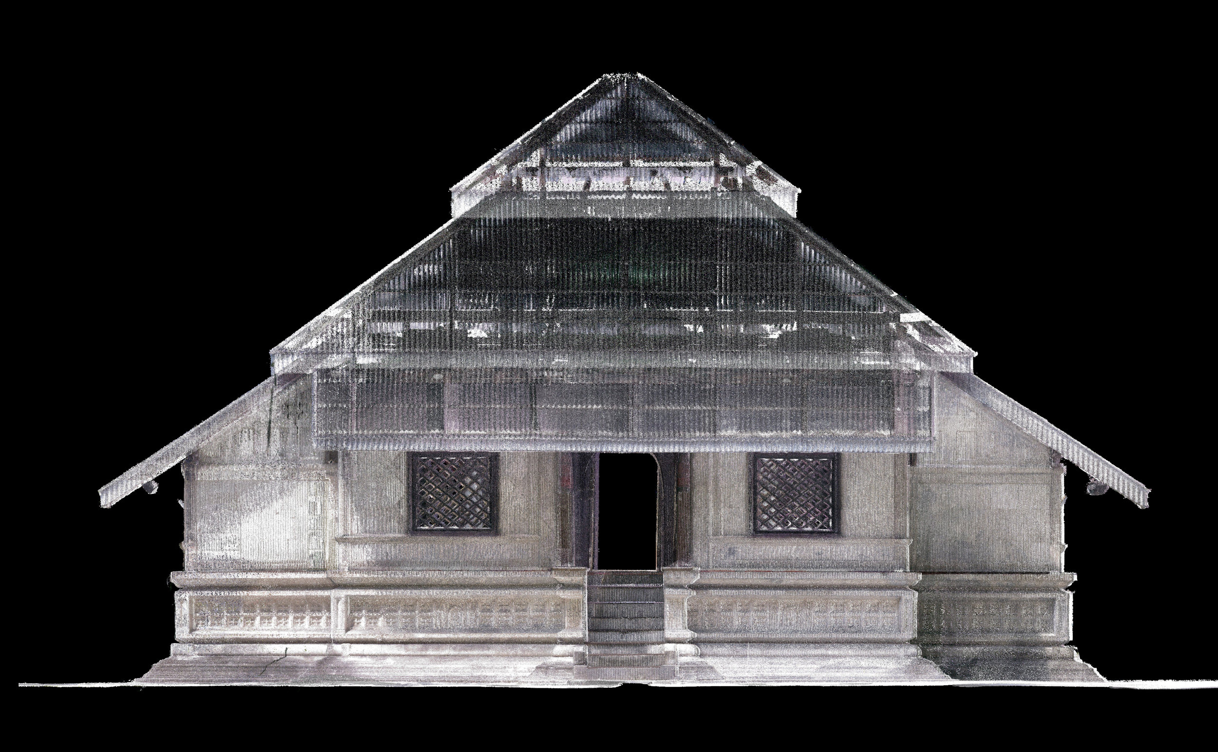
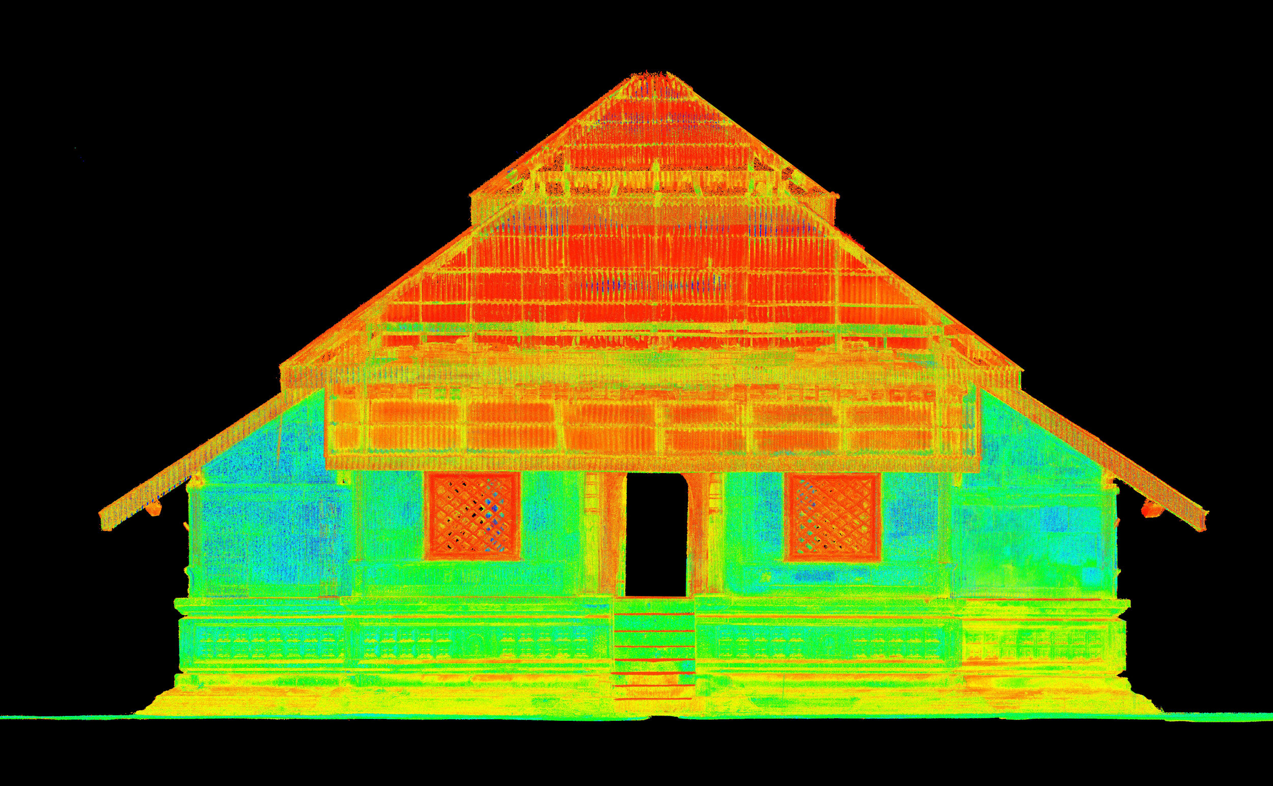
Conservation and documentation of Hukuru Miskiyy
Application of Laser scanning in real life - An educational documentary
The following documentary shows the real life application of laser scanning and its benefits in a number of industry. Water Solutions in association with the Department of Heritage, commissioned this project as a CSR component to document and capture the detail architecture of this historical mosque.